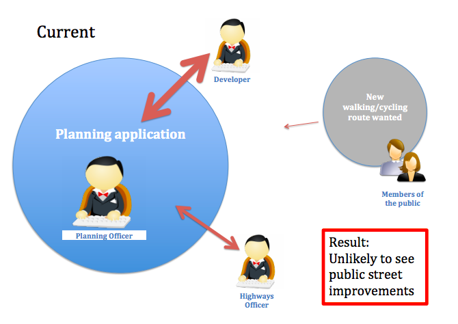
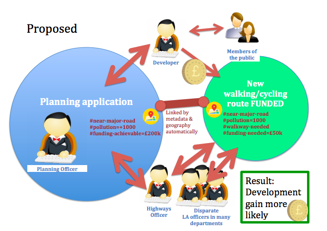
Fundamentally, StreetFocus will enhance raw planning application data (e.g. to determine scale of development), and enable downstream users of the data (Local Authority officers and citizens) to be able to add metadata as they examine proposals. Data would flow between users and systems in all directions.
This will enable planning applications and crowdsourced proposals for street changes to be matched up automatically, generating planning gain. Disparate council officers can be alerted to desired changes and/or given a stronger hand to negotiate with developers, and spot systematic problems.
To auto-identify possible development gain, two innovative datasources will be combined and enhanced to close this loop:
- PlanIt, a national aggregator of planning applications using screenscraping.
- Cyclescape crowdsources desired changes to street infrastructure. Although this particular system focusses on transport, the use-case is generic: a means for citizens to crowdsource proposals containing both geodata and metadata.
Combining these identifies evidenced proposals for planning gain. For instance, a large planning application tagged as next to a major road can be matched-up with the same location in Cyclescape tagged as a major road with high collisions needing a cycleway.
StreetFocus would firstly enhance the planning data semantically. For instance, size of development (and thus whether development gain is likely) could use hints such as the number of documents and presence of specific document types. Secondly, it would create means to crowdsource aspects of planning data that cannot yet be automatically determined (e.g. themes in plans, companies involved). Planning officers could then ‘tag’ proposals for instance not compliant with official guidance, enabling those in another LA to discover a developer’s track-record of such problems.
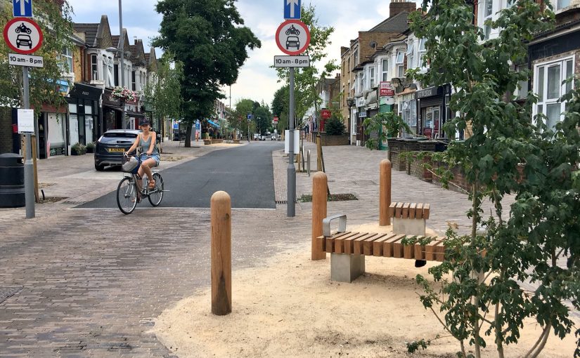
Header image credit: AsEasyAsRiding